


La Jasserie le saut du Gier

alinetpierre
User
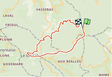

Length
16.9 km

Max alt
1424 m

Uphill gradient
732 m
Km-Effort
27 km

Min alt
812 m

Downhill gradient
729 m
Boucle
Yes
Creation date :
2025-03-02 08:43:13.0
Updated on :
2025-03-19 12:27:07.128
6h03
Difficulty : Very difficult

FREE GPS app for hiking
 SityTrail
IGN / Geographical institutes
SityTrail Plus
The world is yours!
About
Trail Walking of 16.9 km to be discovered at Auvergne-Rhône-Alpes, Loire, La Valla-en-Gier. This trail is proposed by alinetpierre.
Description
Difficile, beaucoup de cailloux et de rochers à la descente entre la Jasserie et le saut du Gier.
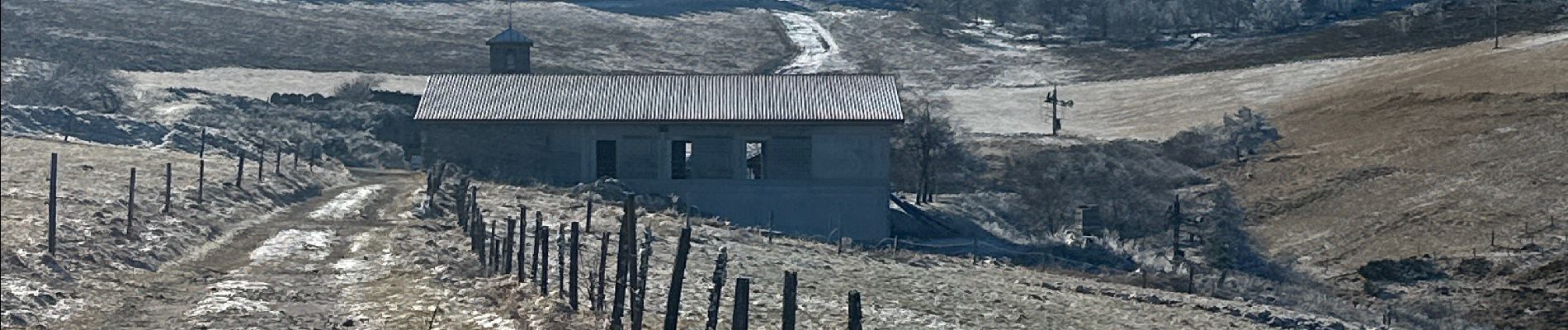
Photos


Positioning
Country:
France
Region :
Auvergne-Rhône-Alpes
Department/Province :
Loire
Municipality :
La Valla-en-Gier
Location:
Unknown
Start:(Dec)
Start:(UTM)
623207 ; 5027476 (31T) N.
Comments